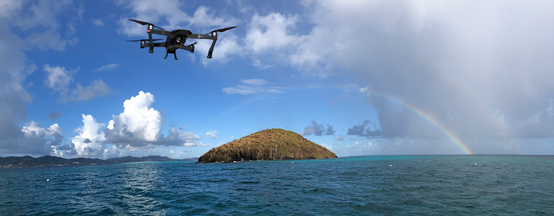
Buck Island National Monument, St Croix, USVI

This imagery was acquired and processed by Oregon State University graduate students, Richie Slocum and Chase Simpson, in collaboration with the National Oceanographic and Atmospheric Administration(NOAA) and the National Park Service(NPS), as part of a research project to assess the accuracy of SfM derived bathymetry. With 13 separate flights across three days, the nearshore of Buck Island was mapped to 5cm horizontal resolution. The flights were flown by FAA Part-107 licensed pilots in class G airspace, and waivers were granted by the NPS to fly on Buck Island. Each of these flights were processed using Agisoft Photoscan, and the resultant orthophoto is visualized using the javascript library Leaflet.
For more information on the project and the data acquisition, see the readme document located here.