Richard Slocum
PhD Student, Oregon State University
Civil Engineering: Geomatics
slocumr@oregonstate.edu
Web Visualization Portfolio
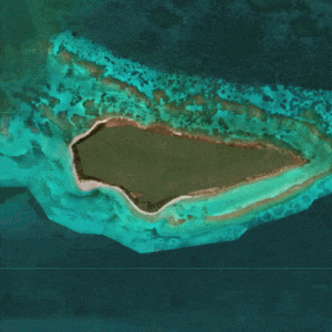
UAS Map
Buck Island, USVI
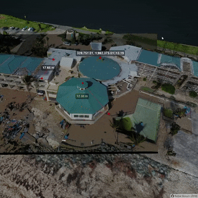
Potree SfM
Pointcloud + Images
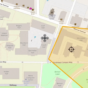
UAS Footprint
Interactive camera footprint
µGigaPixel
CNC Based Gigapixel
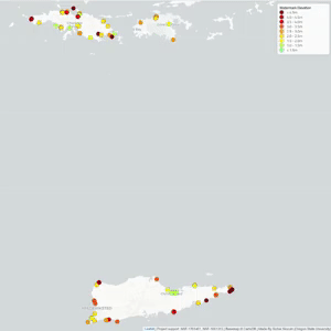
Storm Surge Map
Post hurricanes Maria and Irma
Learnbook
Informal textbook
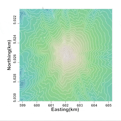
D3 Contour Map
Visualization of Mt Hood
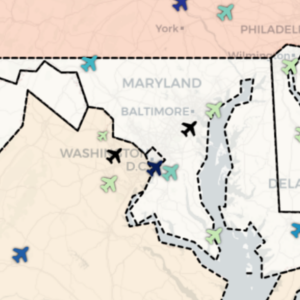
Airport Map
US Map of airports
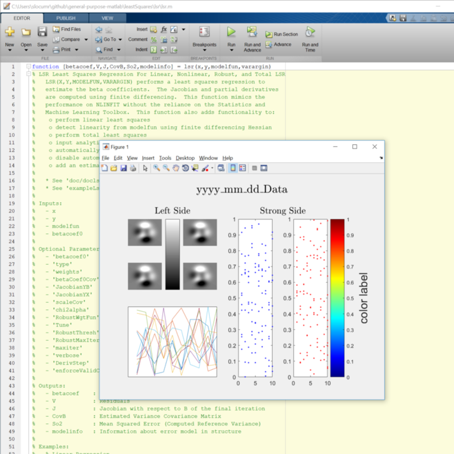
Matlab Scripts
General Purpose Functions
Bridge Gigapixel
Pan-tilt based Gigapixel
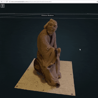
3D Pointcloud
SfM Figurine Pointcloud
Learning Module
Response Spectrum Device